What is the solar potential of buildings at city-scale?
City-scale evaluation of buildings’ PV potential is essential to target efforts. Here, we show how accounting for vegetation and weather variability highly affects the results of the evaluation.

Solar cadastres, or solar maps, are tools to provide decision-makers with information about the suit-ability of a given building surface for the installation of solar power systems, such as photovoltaic or solar thermal. There is currently a gap between detailed simulation tools for single solar installations and those used in large-scale analyses, such as solar cadastres. The latter are usually based on sim-plified solar radiation tools and provide time-cumulated results and up to the building surface.
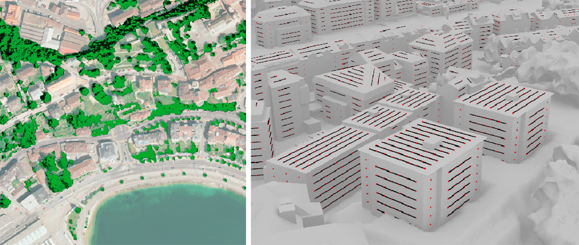
This work aimed at pushing the boundaries of the analysis in terms of granularity, using state-of-the-art solar radiation and PV performance models, advanced 3D geo-data and weather measurements recorded over lengthy periods of time. In particular, the developed simulation workflow took ad-vantage of the high-resolution 3D point clouds from airborne laser scanning and 3D city models that are widely available in Switzerland, through the Confederation and many cantons.

An interactive 3D map indicates the priority level of energy refurbishments and/or PV installations in buildings at different spatial aggregation scales (e.g. building surface, building, urban block) expressed as a solar score. It is then possible to easily detect which spatial locations would benefit most from a solar installation and a retrofit intervention. This could help local authorities to target investments where they are most needed, as well as large building owners to prioritize the refurbishment of their building stock.


